There is set to be a rapid transition into winter here in the Hunter as a blast of cold air hits the East Coast this week.
A low pressure system over the Great Australian Bight and associated cold front will strengthen as they move eastwards over the next two days.
Strong winds averaging 50 to 60 km per hour with damaging wind gusts in excess of 90 km per hour will sweep over the far west of New South Wales from tomorrow morning, reaching the Great Dividing Range by the afternoon
Damaging winds will move east and hit the coast by tomorrow evening and intensify over Tuesday.
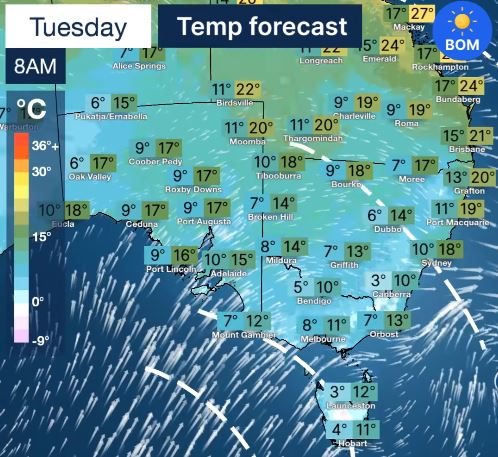
Hunter locals will be reaching for their winter woolies with the system bringing with it below-average temperatures, rain and icy winds, while snow could fall above 1300 metres at the Barrington Tops.
The brunt of the winds are expected to batter the coastline.
Jonathan How from the Bureau of Meteorology says after recent rainfall the risk of tree falls is high.
“Tuesday we’ll see damaging winds potentially upwards of 90km an hour, and of course the trees are very weak and the soil is extremely wet,” Mr How said.
“So there is an increase risk of seeing trees fall as well as damage to property as well.”
The State Emergency Service advice is for people to move their vehicles under cover and away from trees.
Locals should also secure loose items around the house, yards and balconies.
It is also important to keep at least 8 metres away from fallen power lines or objects that may be energised, such as fences and report any fallen power lines to Ausgrid on 131 388.
For emergency help in floods and storms, call your local SES Unit on 132 500.